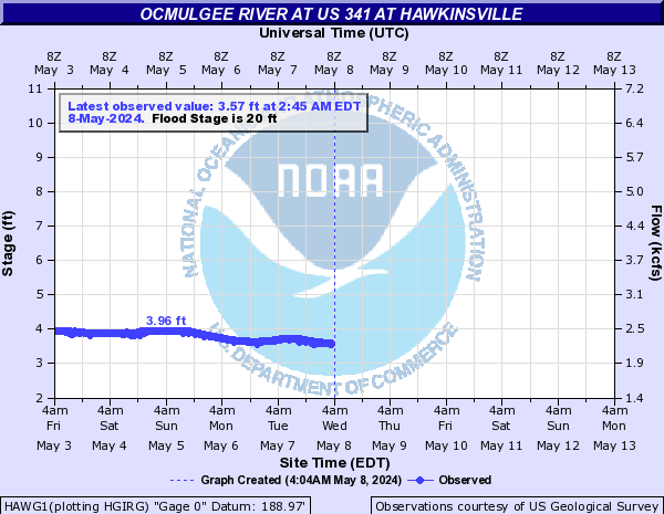
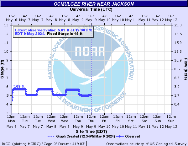
Ocmulgee River
The Ocmulgee is one of Georgia's greatest rivers. It rolls through the forested valleys and hills of the Piedmont until it enters the Coastal Plain and joins the Oconee to form the Altamaha. The Ocmulgee is a paddler's dream and perfect for short or long trips exploring its beauty by boat. Fishing along the Ocmulgee is popular, too.
The South, Yellow, and Alcovy Rivers empty into Lake Jackson, converging to form the Ocmulgee River, which then flows south and east 255 miles to converge with the Oconee River to form the Altamaha River, which empties into the Atlantic Ocean at Darien, Georgia.
The South River watershed is located in the Upper Ocmulgee River Basin. It is composed of 155,239 acres and includes portions of DeKalb, Fulton, Rockdale, Clayton, and Henry counties.
The Yellow River stretches from suburban Gwinnett County outside of Atlanta to the south, draining portions of DeKalb, Rockdale, and Newton Counties before entering the backwaters of Lake Jackson. True to its name, the Yellow runs high in sediment, resulting in a water color from light to greenish brown.
The Alcovy River originates in Gwinnett County, near Lawrenceville, Georgia. It flows south, eventually emptying into the northern end of Lake Jackson along the Jasper/Newton County border. Before the confluence with the Oconee, the 28 mile long Little Ocmulgee joins the Ocmulgee near Lumber City.
Stay on top of the Altamaha Riverkeeper news!
Sign Up to the ARK Newsletter to receive our email alerts about Altamaha Riverkeeper news and views.
Ocmulgee River Recreation Map
Ocmulgee River Safety Map
Ocmulgee River Outfitters
- Ocmulgee Outdoor Expeditions (478) 733-3386 https://www.ocmulgeeoutdoorexpeditions.com
- Three Rivers Outdoors (912) 594-8379 http://www.3riversoutdoors.net
- Canoe Canoe Outfitters (912) 786-8732 http://www.canoecanoe.com/river-trips/ocmulgee-river/
Ocmulgee River Fishing Guides
- Peach State Fly Fishing (912) 269-1464 Peachstateflyfishing.com
- Fall Line Guide Service (706) 741-5386
www.falllineguideservice.com
There are so many ways that you can help keep our rivers clean and beautiful. Responding to Action Alerts or reaching out to your elected representatives. Find your way to get involved!


